Trails and Hiking
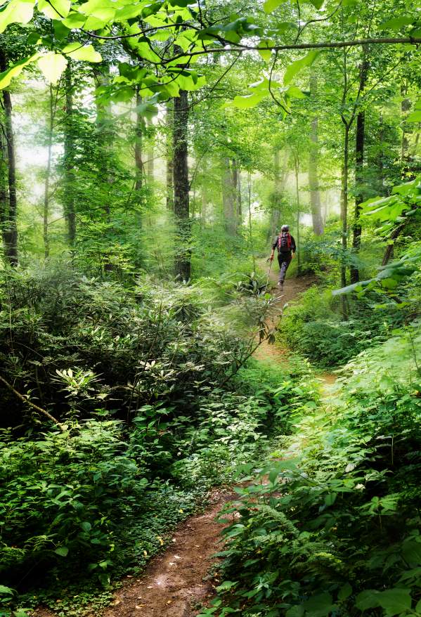
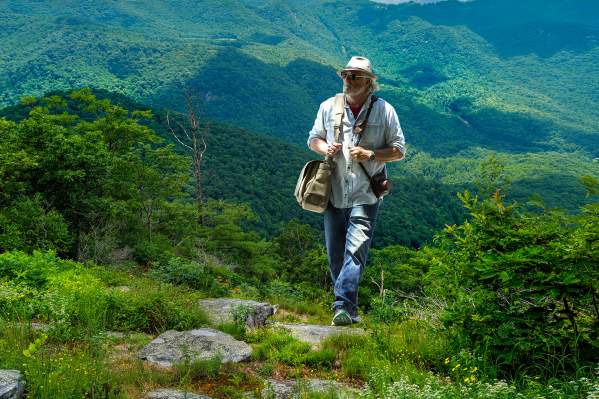
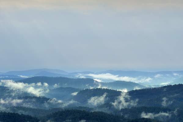
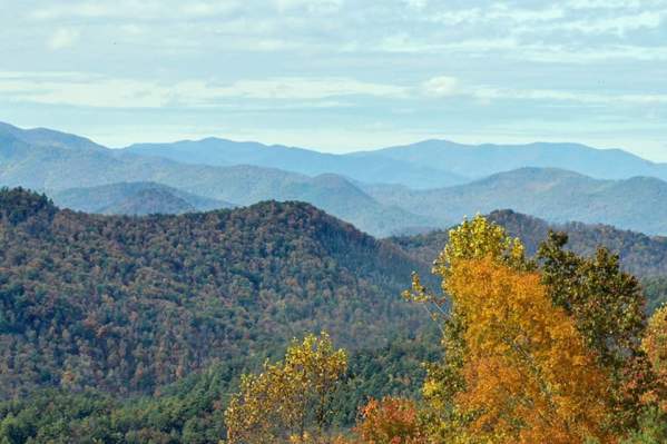
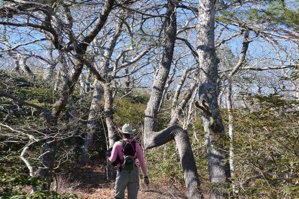
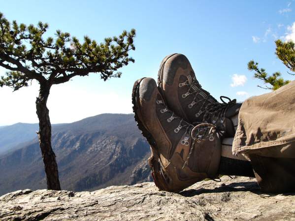
Recapture a childhood sense of wonder as you follow unexplored paths. There’s no doubt that Highlands is made for those looking to lose themselves or find themselves amidst the forests and hills of the Nantahala Forest that surrounds us. Generations of naturalists, artists and dreamers have discovered paradise on the trails that wind through our wilderness. Take a camera with you- each one of the trails is loaded with charm and spectacle. In Highlands, you will capture a sense of wonder that you’ll cherish, take with you, and keep coming back for more. Click here for a sneak peek.
This is a 4.6 mile out and back hike on the Bartram Trail. Follow Highway 64 West toward Franklin for 4.6 miles. Just beyond the entrance for Cliffside Lake, turn left onto Turtle Pond Road. Then, go 1.1 miles to an intersection and continue right onto Dendy Orchard Road…
This 11.7 mile out and back hike up to the Yellow Mountain Fire Tower is a challenging hike. It is recommended to bring lunch and plenty of water. This hike can take about 7 hours so leave early in the day. To get there, take Highway 64 east from Highlands for 3 miles…
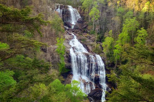
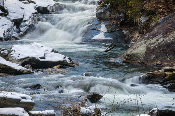
Whitewater Falls is a short out and back hike near Cashiers, NC that provides views of one of the tallest waterfalls in the east. Walk down a paved path to stairs that will take you to a viewing platform. From Highlands, head down US-64 East toward Cashiers. When you reach the…
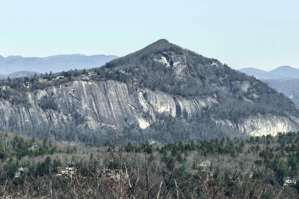
Whiteside Mountain is one of the most popular hikes in the area. It is a 2.5 mile loop that will take you to amazing views. From Highlands, NC head down US 64 east for 5.4 miles, then turn right onto Whiteside Mountain Road (SR1600). You will see a sign for the Whiteside Mountain…
The Narrows is an out and back hike to the Chattooga River “Narrows” that is 2.5 miles one way. From Highlands take Horse Cove Road for 8.1 miles to the end where the road forks. On the left is Whiteside Cove Road and to the right is Bull Pen Road. There will be an…
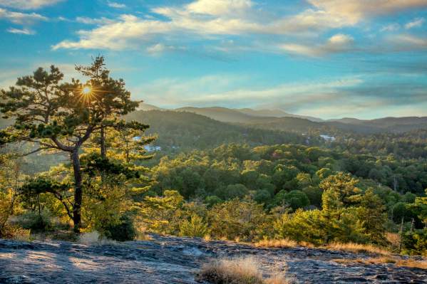
Sunset Rock is a popular spot for a short hike with a great view, and just a few hundred yards from downtown Highlands. Head east down Main Street for .5 miles toward Horse Cove until you reach the Nature Center on the left. Park on the gravel on the right side of the road. You…
Jones Knob is a short hike just off the Bartram trail that takes you to a mountaintop view. To get to Jones Knob follow Highway 64 West toward Franklin for 4.6 miles. Just beyond the entrance for Cliffside Lake, turn left onto Turtle Pond Road. Then, go 1.1 miles to an…
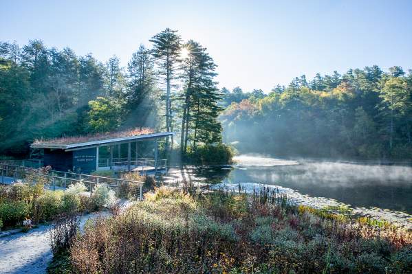
The Highlands Botanical Gardens are a series of trails where you can observe over 500 species of native plants. The interconnected trails wind through the forest near creeks and a pond. Head east down Main Street toward Horse Cove Road to the Highlands Nature Center on the left…
Hickory Knut Gap to Scaly Mountain is a 3.5 mile out and back trail a few miles from Highlands. From Highlands, head down Highway 106 South for approximately 4 miles and turn right onto Turtle Pond Road. Drive for 0.25 miles and turn left onto Hickory Knut Road. Drive 0.9 miles…
The Cliffside Loop Trail is a 2.1 mile loop around Cliffside Lake. The trail loops around the lake which is flat until the trail crosses the road. Once across the road, you will head up the Vista Trail which ascends to scenic mountain views. From Highlands, take Highway 64 west…
This trail begins at the Glen Falls parking area. From Highlands, head down NC Highway 106 for approximately 1.7 miles. Look for the sign to Glen Falls on the left and upon turning, the gravel road to the falls (SR1618) immediately veers off to the right. The road leads to the…
The Chattooga Loop Trail is a 1.75 mile loop that begins to the left of the Iron Bridge. To get there, from Highlands proceed east on Main Street which becomes Horse Cove Road for about 4.5 miles. You will come to the intersection of Bull Pen Road and Whiteside…
Safety tips for hiking in bear country
